|
Tallassee in Pictures: The Tallapoosa
By Michael Butler
In 1798, U.S. Government Indian Agent Benjamin Hawkins described the scenic Tallapoosa River in Tallassee as “water of the falls, tumbling over a bed of rock for a half mile.”
The name means “Grandmother Town” from the Creek Indian words Talwa and posa. The river runs 265 miles from northwestern Georgia to just past Tallassee joining the Coosa to form the Alabama River.
It includes Lake Martin to the north of Tallassee. It was the largest man-made body of water in the world when completed in 1926. Today, it is one of the most popular recreational waterways in the southeast.
Author Virginia Golden wrote about the Tallapoosa in the introduction of her 1949 book, “A History of Tallassee.” “On the high ground of the Tallapoosa banks with the river bisecting its heart, stands modern Tallassee.”
The Tallapoosa is still the “heart” of Tallassee. With the hydroelectric power it generates, it is also the heartbeat of the city.
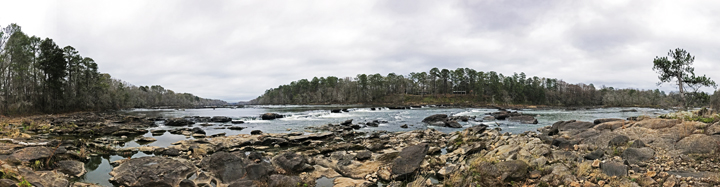
Panoramic view downstream from Thurlow Dam in Tallassee |
Rolling river |
Alabama Power Boat Ramp View |
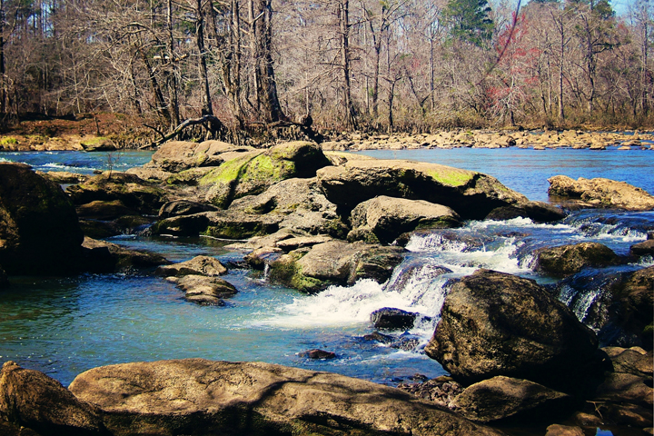
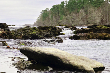
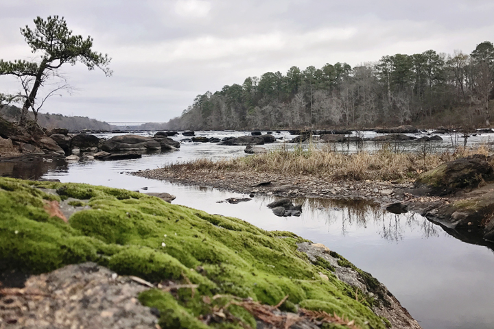
Mammoth rocks and flowing waters
|
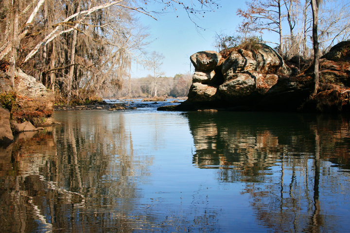
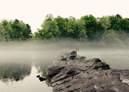
Hidden nook on the Tallapoosa |
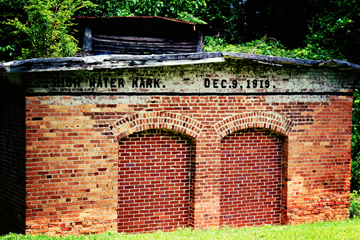
High water mark, Alabama Power Thurlow Plant |
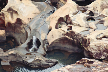
Rock formations |
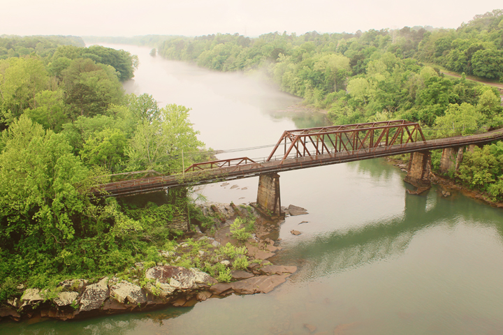
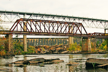
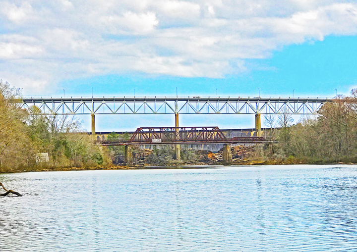
Train trestle over the Tallapoosa, south of the Thurlow Dam |
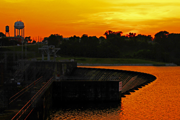
Sunset on Lake Talisi |

Turtles basking in the sunshine |
Low water levels exposing river rocks downstream from the Benjamin Fitzpatrick Bridge |
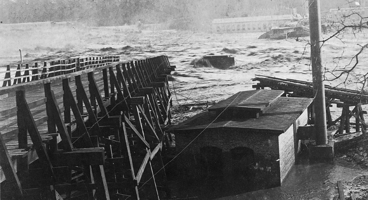
Damage from the flood of 1919.
Courtesy of Frederica Melton. Bill Goss/Images of America |
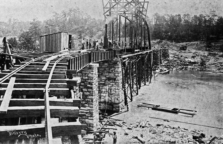
Work in progress on trestle bridge in 1896. Shot by Bilbrey Brothers Photography.
Bill Goss/Images of America |
Below the Alabama Power boat ramp near Thurlow Dam |
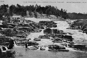
Tallassee Falls in the 1890s
Bill Goss/Images of America |
Charles A. McCluskey 1880s photograph
Bill Goss/Images of America |
Send
Comments
|